Ider, 463 Meter
|
|
| Talort: |
Ider, 463 Meter |
| Höhenunterschied: |
0
Meter |
| Streckenflug: |
Nein |
| Seilbahn: |
Nein |
| Windenschlepp: |
Nein |
| Walk and Fly: |
Nein |
| GPS Tal: |
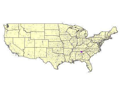
34° 42' 51'' N,85° 40' 51'' W |
|
|
A grass strip more than a kilometer in length offering ideal possibilities for towing. From Ider drive along the 117 fro approx. two miles in the northern direction, the strip is located on the right hand side, however is not visible from the road.
|
|
|

|
Umgebungskarte
Interaktive Karte
|
Fluggebiete in der Nähe (Radius: 50 km) |
|
Nordamerika » USA » Georgia
Lookout Mountain, 602 Meter

| Entfernung: | 15 km
|
|
Höhenuntersch.:
|
397
Meter
|
| Ort: | Rising Fawn
|
| Streckenflug: | Nein
|
| Startplatz: |
mittel
|
| Landeplatz: |
mittel
|
This 20 mile long mountain chain begins in the three croner edge of Georgia, Alabama, Tennesse. The site lies between the city Chattanooga and the...
|
|
|
Nordamerika » USA » Georgia
Pigeon Mountain, 350 Meter
| Entfernung: | 36 km
|
|
Höhenuntersch.:
|
110
Meter
|
| Ort: | LaFayette
|
| Streckenflug: | Nein
|
| Startplatz: |
Keine Angabe
|
| Landeplatz: |
Keine Angabe
|
He who likes beautiful forest flights, should not miss this long cliff in the State Park. There are diverse landing possibilities, normally one...
|
|
|
|
Flugschulen in der Nähe (Radius: 50 km) |
|
Nordamerika » USA » Georgia
Lookout Mountain Flight Park
Lookout Mountain Flight Park
7201 Scenic Hwy
US - 30738 Rising Fawn (Ga)
www.hanglide.com/home.html
Entfernung: 15 km
Geballte Flugerfahrung in Georgia: Der 'Lookout Mountain Flight Park' bildet seit 1978 Piloten aus. Hier könnt Ihr auch 'Utraleicht' fliegen.
|
|
|
|
|
|  |
|