Aba Huab Flying Site, 635 Meter


Talort:
Aba Huab Rest Camp
Höhe Talort:
565 Meter
Höhenunterschied:
70
Meter
Start Richtungen:
Seilbahn:
Nein
Streckenflug:
Nein
Soaring:
Ja
Windenschlepp:
Nein
Walk and Fly:
Ja
Ski and Fly:
Nein
Drachen:
Nein
UL:
Nein
GPS Tal:
GPS Berg:
Qualität Fluggebiet:
Qualität dieser Seite:
Statistik:
Adoption (User):
sosweet seit 07.11.2011
Zuletzt bearbeitet:
13.11.2011
The Aba Huab Flying Site is next to the rest camp on top of the hill with antenna. The launch is by 4WD reachable but also a nice option for hike and fly. Flying is best 1 hour before sunset otherwise the wind might pick up very quickly and is getting to strong for suitable flying. Wind direction are best SW to W.
Bewertung der Fluggebiets- und der Seitenqualität
Flug
Soaring, Light thermaling.
Schwierigkeit
Medium
Besonderheiten und Webcam
| Please be aware that windconditions during the day are hard to predict. So best flying is at late afternoon for example 1 hour before sunset. |
Walk and Fly
Ausgangspunkt:
Aba Huab Rest Camp to the hill with antenna.
Wegbeschreibung:
Trail on the northface.
Sonstiges:
Soaring
Soaringbedingungen:
SW to NW winds are suitable for soaring.
Wissenswertes
Unterkunft:
Aba Huab Rest Camp
Anfahrt:
From Khorixas, Kunene, Namibia towards Twyfelfontein (Tourist Hot Spot at Namibia)
Download: Google Earth Dateien für Fluggebiet und Flugdaten (IGC, OLC)
Download: Google Earth Dateien (KML-Format), Flugdaten (IGC Format)
Die letzten 3 Flüge
Leider keine OLC Daten vorhanden.
Flugdaten von www.paraglidingforum.com
Leider keine OLC Daten von www.paraglidingforum.com vorhanden.
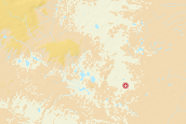
Umgebungskarte
  Fluggebiet  Flugschule  Aktuelle Position |
Alle Fluggebiete und Flugschulen in der Nähe anzeigen