Jasper, 620 Meter
|
|
| Talort: |
Jasper, 300 Meter |
| Höhenunterschied: |
320
Meter |
| Streckenflug: |
Nein |
| Seilbahn: |
Nein |
| Windenschlepp: |
Nein |
| Walk and Fly: |
Nein |
| GPS Tal: |
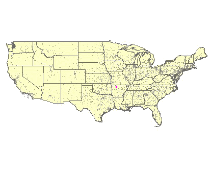
36° 0' 29'' N,93° 11' 11'' W |
|
|
The mountain located to the north of Jasper can be reached over the Highway number 7, the trip is worthwhile either way the area is also named "Grand Canyon of Arkansas".
|
|
Flug
In the earlier years the south eastern cliff was probably flown more often because of the stronger conditions. The long distance record of 42 miles to Blu Eye dates out of the seventies. The problem with Jasper is that the south east-side must compete with Nebo and Mt. magazine.
Besonderheiten und Webcam
| Points of contact and maps are available under www.hang-glide.com |