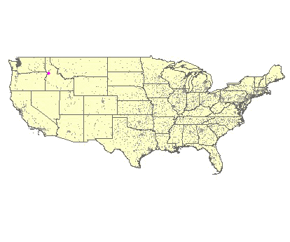
John Day Mountain, 1890 Meter
|
|
| Talort: |
Lucile, 550 Meter |
| Höhenunterschied: |
1340
Meter |
| Streckenflug: |
Nein |
| Seilbahn: |
Nein |
| Windenschlepp: |
Nein |
| Walk and Fly: |
Nein |
| GPS Tal: |
45° 32' 7'' N,116° 18' 34'' W |
|
|
This cliff is located in the heart of Idaho inbetween the Salmon and Snake Rivers. The high mountain and soft hills stamp this area into your heart.
|
|
Flug
You view its over Lucile and for landing it ample space.
Besonderheiten und Webcam
For further information:
Scott & Terri Johnson
U.S. Airborne Sport Aviation Center
1212 5th Street
PO Box 579
Asotin, Washington 99402
info@usairborne.com
Phone: 509-243-4988
Fax: 509-243-4757 |
|

|
Umgebungskarte

Interaktive Karte
|
Fluggebiete in der Nähe (Radius: 50 km) |
|
Nordamerika » USA » Idaho
Heavens Gate, 900 Meter

| Entfernung: | 12 km
|
|
Höhenuntersch.:
|
300
Meter
|
| Ort: | Riggins
|
| Streckenflug: | Nein
|
| Startplatz: |
Keine Angabe
|
| Landeplatz: |
Keine Angabe
|
The Seven Devils Mountains separate the Salmon and Snale River from one another. Alone the way up here is an adventure, the flights however are...
|
|
|
|
|
|
|  |
|