Badger, 3000 Meter
|
|
| Talort: |
Hartsel, 2734 Meter |
| Höhenunterschied: |
266
Meter |
| Streckenflug: |
Nein |
| Seilbahn: |
Nein |
| Windenschlepp: |
Nein |
| Walk and Fly: |
Nein |
|
|
A mountain in the Rockies, which is less expensive for learning. For old chooks, there are also a few things with XC-potential, however with restricted landing possibilities.
|
|
Flug
Above all it is more comfortable to fly in the mornings as over the day it becomes always more storm-like. The winds and its speed can change quickly and dramatically here, its best when one checks out the site with locals before flying.
Schwierigkeit
You dont see paragliders here very often.
|

|
Startplätze |
| Startplatz: |
Launch |
| Startrichtung: |
|
| Schwierigkeit: |
Keine Angabe
|
| Höhe über NN: |
3000 |
|
Von einer Holzrampe geht es in eine Brandschneise, entsprechend viele Stümpfe und Steine warten am Boden. An den mit Bäumen gesäumten Rändern wird es turbulent.
|
|
|
|
|
|
|
Umgebungskarte
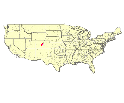
Interaktive Karte
|
Fluggebiete in der Nähe (Radius: 50 km) |
|
Nordamerika » USA » Colorado
Kenosha Pass, 3000 Meter

| Entfernung: | 42 km
|
|
Höhenuntersch.:
|
270
Meter
|
| Ort: | Grant
|
| Streckenflug: | Nein
|
| Startplatz: |
Keine Angabe
|
| Landeplatz: |
Keine Angabe
|
Approx 60 Miles south west from Denver, this southern hang is only reachable with all wheen drive. You will find the large landing area on the...
|
|
|
Nordamerika » USA » Colorado
Mt. Princeton, 3660 Meter
| Entfernung: | 48 km
|
|
Höhenuntersch.:
|
1140
Meter
|
| Ort: | Buena Vista / Nathrop
|
| Streckenflug: | Ja
|
| Startplatz: |
mittel
|
| Landeplatz: |
leicht
|
Hier wird schon seit den Anfängen mit Hängegleitern geflogen.
|
|
|
|
|
|
|  |
|