Bennetts Hill, 250 Meter
|
|
| Talort: |
Wellington, 20 Meter |
| Höhenunterschied: |
480
Meter |
| Streckenflug: |
Nein |
| Seilbahn: |
Nein |
| Windenschlepp: |
Nein |
| Walk and Fly: |
Nein |
|
|
Grass covered hill, takes south-east winds
|
|
Besonderheiten und Webcam
| contact local pilots, or we all lose the site. |
|

|
Startplätze |
| Startplatz: |
Bennetts Hill |
| Startrichtung: |
S-E |
| Schwierigkeit: |
sehr leicht
|
| Höhe über NN: |
500 |
|
|
|
|
|
|
|
Landeplätze |
| Landeplatz: |
Bennetts Hill |
| Schwierigkeit: |
sehr leicht
|
| Höhe über NN: |
0 |
|
|
|
|
|
|
|
Umgebungskarte
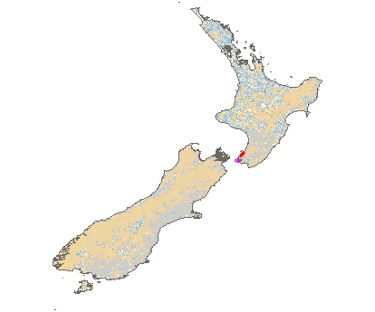
Interaktive Karte
| Orte in der Nähe
Wellington (0 km)
Hataitai (1 km)
Berhampore (2 km)
Kelburn (2 km)
Kilbirnie (2 km)
Brooklyn (3 km)
Northland (3 km)
Miramar (3 km)
Kaiwarawara (4 km)
Kaiwarra (4 km)
Kaiwharawhara (4 km)
Kaiwhara (4 km)
Island Bay (4 km)
Wadestown (4 km)
Seatoun (5 km)
|
Fluggebiete in der Nähe (Radius: 50 km) |
|
Australien / Ozeanien » Neuseeland
Mt Climie, 800 Meter
Adopted by: [granttatham]
| Entfernung: | 0 km
|
|
Höhenuntersch.:
|
780
Meter
|
| Ort: | Wellington
|
| Streckenflug: | Nein
|
| Startplatz: |
schwer
|
| Landeplatz: |
Keine Angabe
|
Mountain site in the Rimutaka ranges. Very long glide out to safe landing - beware.
|
|
|
Australien / Ozeanien » Neuseeland
TeWhiti Park, 350 Meter
Adopted by: [granttatham]
| Entfernung: | 0 km
|
|
Höhenuntersch.:
|
330
Meter
|
| Ort: | Wellington
|
| Streckenflug: | Nein
|
| Startplatz: |
schwer
|
| Landeplatz: |
schwer
|
Flying site on the eastern side of the Hutt Valley. Also right on the boundary of Wellington International airport - obey airspace resrictions.
|
|
|
Australien / Ozeanien » Neuseeland
Bull Hill, 280 Meter
Adopted by: [granttatham]
| Entfernung: | 0 km
|
|
Höhenuntersch.:
|
980
Meter
|
| Ort: | Wairarapa
|
| Streckenflug: | Nein
|
| Startplatz: |
leicht
|
| Landeplatz: |
leicht
|
A flight site facing west for Hang Gliders and Paragliders, located in the lower part of the Wairarapa Valley. A good site for beginners, also...
|
|
|
|
|
|
|  |
|