Eaglehawk Neck, 340 Meter
|
|
| Talort: |
Eaglehawk Neck, 3 Meter |
| Höhenunterschied: |
327
Meter |
| Streckenflug: |
Ja |
| Seilbahn: |
Nein |
| Windenschlepp: |
Nein |
| Walk and Fly: |
Nein |
|
|
Fantastic conditions and good start possibilities in a breathtaking national park.
|
|
Wissenswertes
| Anfahrt: |
Eaglehawk Neck is located 80km SW of Hobart (one hours drive) or 20km from Port Arthur. Eaglehawk Neck flying site is to be found between the Forestier Peninsular and the Tasman Peninsular. |
|

|
Startplätze |
| Startplatz: |
Eaglehawk Neck |
| Startrichtung: |
NE-SE |
| Schwierigkeit: |
mittel
|
| Höhe über NN: |
330 |
|
|
|
|
|
|
|
Landeplätze |
| Landeplatz: |
Eaglehawk Neck |
| Schwierigkeit: |
mittel
|
| Höhe über NN: |
0 |
|
|
|
|
|
|
|
Umgebungskarte
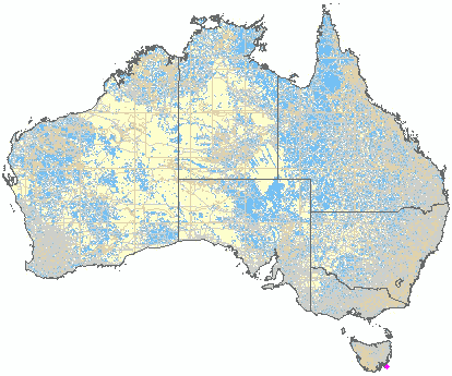
Interaktive Karte
| Orte in der Nähe
Eaglehawk Neck (0 km)
Taranna (3 km)
Woody Island (4 km)
Macgregor Peak (6 km)
Koonya (7 km)
Oakwood (8 km)
Sisters Islets (9 km)
Sisters, The (9 km)
Sisters (9 km)
View Peak (10 km)
Murdunna (11 km)
Gull Island (13 km)
King Georges Island (13 km)
Premaydena (14 km)
Fortescue, Mount (14 km)
|
|
|  |
|