Pan de Matanzas - Corral Nuevo, 375 Meter
|
|
| Talort: |
Pan de Matanzas, 75 Meter |
| Höhenunterschied: |
300
Meter |
| Streckenflug: |
Ja |
| Seilbahn: |
Ja |
| Windenschlepp: |
Nein |
| Walk and Fly: |
Ja |
|
Pictures & Info
Pan de Matanzas mountain is located at about 10 km SW from the city of Matanzas. It is the highest point in the valley “Valle de Yumurí” and rises up to 375 metres asl. 1500 meters north from it’s base is Corral Nuevo town, the home of about 50 families. In the town could be found a cafeteria, telephone, and medical assistance. There is also signal for mobile phones and a stop for the train “Tren de Hershey” which travels from Havana to Matanzas starting from Casa Blanca.
The Valle de Yumurí is always working good for the thermal activity. The cloud base use to stay over 900 meters asl. The slope is SE oriented, but is also possible to take off with E wind. There are landing areas very close to the mountain but it worth to work a little in order to land near the town.
Corral Nuevo may be accessed by train or car but to drive to the take off a 4x4 vehicle is needed, the road to the top is in good shape but too steep in some parts. This is a good site for XC flights.
|
|
Walk and Fly
| Ausgangspunkt: |
|
| Wegbeschreibung: |
|
| Sonstiges: |
Kontakt:
Havana City Paragliding Club
David Calás Lozano < david.calas -a- gmail.com>
Tel: +53-7-867 50 99 und Arbeit: +53-7-646 8731
Luis García < lugarcia -a- airfrance.fr>
Mobil: +53-5-2640715 |
|

|
Startplätze |
| Startplatz: |
Pan de Matanzas |
| Startrichtung: |
|
| Schwierigkeit: |
mittel
|
| Höhe über NN: |
375 |
|
|
|
|
|
|
|
|
Umgebungskarte
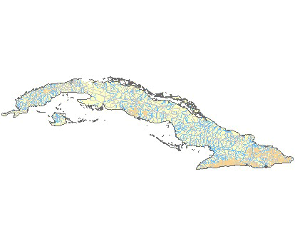
Interaktive Karte
|
Fluggebiete in der Nähe (Radius: 50 km) |
|
Nordamerika » Kuba » La Habana
Canasi - Palmarejo, 85 Meter
Adopted by: [davidcalas]
| Entfernung: | 15 km
|
|
Höhenuntersch.:
|
85
Meter
|
| Ort: | Canasi
|
| Streckenflug: | Ja
|
| Startplatz: |
leicht
|
| Landeplatz: |
Keine Angabe
|
Pictures & Info
This is a coastal flying spot. Is a magical place with more than 10 km of slope in front of the Caribbean Sea.
...
|
|
|
Nordamerika » Kuba » La Habana
Canasi, 85 Meter
Adopted by: [davidcalas]
| Entfernung: | 18 km
|
|
Höhenuntersch.:
|
85
Meter
|
| Ort: | Playa Amarilla Jibacao
|
| Streckenflug: | Ja
|
| Startplatz: |
leicht
|
| Landeplatz: |
Keine Angabe
|
Video from Canasi
Pictures
Is a ridge soaring site with more than 10 km of slope. Have a look at the video from Canasi or the...
|
|
|
Nordamerika » Kuba » La Habana
La Habana, Santa Cruz del Norte - Fraile, 70 Meter
Adopted by: [davidcalas]
| Entfernung: | 24 km
|
|
Höhenuntersch.:
|
68
Meter
|
| Ort: | Playa Jibacoa
|
| Streckenflug: | Nein
|
| Startplatz: |
Keine Angabe
|
| Landeplatz: |
Keine Angabe
|
Pictures & Info
Dieses Gelände wird am häufigsten von den Piloten aus Havanna genutzt.
Start und Landung sind...
|
|
|
|
Flugschulen in der Nähe (Radius: 50 km) |
|
|
|
|
|  |
|