Sharon Mountain, 445 Meter
|
|
| Talort: |
Litchfield, 328 Meter |
| Höhenunterschied: |
117
Meter |
| Streckenflug: |
Nein |
| Seilbahn: |
Nein |
| Windenschlepp: |
Nein |
| Walk and Fly: |
Nein |
| GPS Tal: |
41° 44' 50'' N,73° 11' 21'' W |
|
|
Sharon Mountain is a less well known mountain in the country, the north cliff offers however a quantity of flight pleasure.
|
|
Besonderheiten und Webcam
For further information:
Connecticut Hanggliding AssociationCHGA
c/o Sharon Roys
20 Warner Road
Barkhamsted, CT 06063
http://www.geocities.com/Pipeline/Rapids/4484/ |
|

|
Umgebungskarte
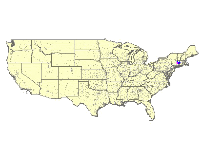
Interaktive Karte
|
Fluggebiete in der Nähe (Radius: 50 km) |
|
Nordamerika » USA » Connecticut
Brace Mountain, 450 Meter

| Entfernung: | 27 km
|
|
Höhenuntersch.:
|
131
bis
341
Meter
|
| Ort: | Berkshire
|
| Streckenflug: | Ja
|
| Startplatz: |
leicht
|
| Landeplatz: |
leicht
|
Brace is counted as one of the best flight mountains in the entire northeast and therefore a flight park was erected here in the last few years....
|
|
|
Nordamerika » USA » Connecticut
Talcott Mountain, 195 Meter
| Entfernung: | 49 km
|
|
Höhenuntersch.:
|
166
Meter
|
| Ort: | Bloomfield
|
| Streckenflug: | Nein
|
| Startplatz: |
Keine Angabe
|
| Landeplatz: |
Keine Angabe
|
Talcott Mountain with the same name as the State park is the most popular side in Connecticut and the spectacular pictures explain why. From the...
|
|
|
|
Flugschulen in der Nähe (Radius: 50 km) |
|
|
|
|
|  |
|