Eaglehawk Neck is located 80km SW of Hobart (one hours drive) or 20km from Port Arthur. Eaglehawk Neck flying site is to be found between the Forestier Peninsular and the Tasman Peninsular.
Startplätze
Startplatz:
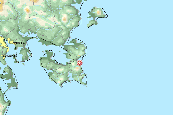
Eaglehawk Neck
Startrichtung:
NO SO
Schwierigkeit:
mittel
Höhe über NN:
330
Landeplätze
Landeplatz:
Eaglehawk Neck
Schwierigkeit:
mittel
Höhe über NN:
0
Download: Google Earth Dateien für Fluggebiet und Flugdaten (IGC, OLC)
Download: Google Earth Dateien (KML-Format), Flugdaten (IGC Format)
Die letzten 3 Flüge Leider keine OLC Daten vorhanden.
Flugdaten von www.paraglidingforum.com Leider keine OLC Daten von www.paraglidingforum.com vorhanden.
Umgebungskarte
Fluggebiet Flugschule Aktuelle Position
Orte in der Nähe Eaglehawk Neck (0 km)
Taranna (3 km)
Woody Island (4 km)
Macgregor Peak (6 km)
Koonya (7 km)
Oakwood (8 km)
Sisters Islets (9 km)
Sisters, The (9 km)
Sisters (9 km)
View Peak (10 km)
Murdunna (11 km)
Gull Island (13 km)
King Georges Island (13 km)
Premaydena (14 km)
Fortescue, Mount (14 km)


 Fluggebiet
 Flugschule
 Aktuelle Position